
Start a Moore Residents Directory Search
To search the Moore residents directory, begin with the fact you can confirm: a full name, a street address, or a past date. A current address is often best checked through the county parcel record, then against the recorded deed and the relevant city record. A name may need a second identifier, such as a middle initial, date range, case number, or neighborhood. Older household questions usually move from property records to newspapers and historical collections. Each source proves something different, so a match in one index should be treated as a lead until another official record supports it.
Ownership, mailing details, recorded parties, voter status, and a past directory entry are not interchangeable. A property entry can identify an owner without naming every person at the address. A deed may show a transfer rather than occupancy. A historical newspaper notice can supply a date but needs context. That distinction makes the Moore residents directory more useful for family research, estate questions, reconnecting with an old classmate, or checking a seller's public record trail.
- Search the address or owner name in the Cleveland County Assessor's Spatialest portal.
- Save the parcel number, legal description, situs address, and recorded owner as separate fields.
- Check the Cleveland County Clerk's CoGov index for the matching deed or instrument.
- Use the proper person-specific voter or court channel only when it matches the question.
- For a past household, test the date in OHS newspaper and directory collections, then ask the custodian for material not online.
Moore Resident Records Offices
Moore is in Cleveland County, so the county offices hold the core property, land, tax, court, and election layers. The City Clerk holds municipal material such as cemetery records, licenses, agendas, and Open Records Act requests. The county routing page separates those responsibilities: send a municipal permit request to Moore, a property valuation question to the Assessor, tax history to the Treasurer, a land instrument question to the County Clerk, and a district-court copy request to the Court Clerk. Sending a narrow request to the right custodian is faster than asking one office for a general person file.
Cleveland County Assessor
201 S Jones Ave, Suite 120
Norman, OK
405-366-0230
Cleveland County Election Board
641 E Robinson, Suite 200
Norman, OK 73071
405-366-0210
Moore Parcel Records in Spatialest
The Cleveland County Spatialest search is the address-to-parcel bridge for a Moore residents directory search. It accepts property address, owner name, account number, parcel number, subdivision, township, and legal-geography routes. A result can connect a current owner, mailing address, physical or legal description, value, building details, land use, sale details, deeds, tax bills, and map information. Read each label literally. A mailing address is not necessarily the property location, and the current owner display does not replace a recorded conveyance.
| Spatialest field | Use in a Moore search | What to verify next |
|---|---|---|
| Property address | Find a parcel from a known Moore address | Situs address and parcel number |
| Owner name | Test a current ownership lead | Recorded deed in CoGov |
| Subdivision or lot/block | Resolve a platted address | Plat and legal description |
| Sale or deed details | Place a transfer in time | Instrument image and filing date |
The screenshot below is linked to the Cleveland County land index, which is the next stop once a parcel or owner is identified.
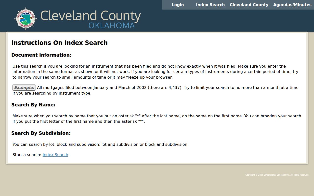
Use the index to locate recorded instruments, then compare the parties, date, and legal description before treating a name as an address connection.
Moore Deed Index Coverage
CoGov gives Cleveland County searchers several distinct routes: grantor or grantee name, document number or book/page, subdivision lot and block, and section-township-range. The county advises narrow date ranges because broad queries can return thousands of entries or freeze the browser. Online land records by name, legal description, and document number are described as reaching back to 1994. The Clerk's in-house database reaches back to 1995, while older grantor-grantee indices remain an office task. Pre-1991 official copies should be confirmed with the Clerk by phone.
- Parcel
- A county-assigned property unit used to connect an address, land description, tax record, and map.
- Grantor and grantee
- The party transferring an interest and the party receiving it in a recorded instrument.
- Index
- A finding tool that identifies a record. It is not automatically the complete image or a certified copy.
- Legal description
- The lot, block, subdivision, or land-survey wording that identifies land beyond a street address.
Note: An index hit identifies a possible instrument, while the recorded image and the Clerk's official copy establish what the instrument actually says.
Current Moore Resident Directories
Current Moore resident records come from several official systems, not one resident roll. The assessor is the useful start for a parcel and current owner display. CoGov records the parties to deeds, mortgages, liens, plats, and related land instruments. The Treasurer supplies an administrative tax trail. The OK Voter Portal is an individual service that uses name and date of birth, while a lawful full-list request has separate eligibility and notarization requirements. City permits and code matters are held by Moore through GovBuilt or a specific City request, not a general county planning search.
| Moore source | What it can establish | Custodian | Access channel |
|---|---|---|---|
| Spatialest parcel record | Current owner, parcel, situs or mailing fields | County Assessor | Online property search |
| CoGov instrument index | Recorded party roles and legal descriptions | County Clerk | Online index, office copies |
| OK Voter Portal | One person's registration-service result | State Election Board | Name and date-of-birth portal |
| GovBuilt and City Clerk files | Address-linked permit or municipal material | City of Moore | Portal application or Open Records request |
| OHS newspapers and directories | Historical household or address clues | Oklahoma Historical Society | Research Center and archive search |
For a question about one person rather than an address, use the name-focused Moore resident lookup method. For the complete address chain along a road, the by-street page is a better fit than repeating the same parcel steps here.
Moore Voter Lookup Limits
The OK Voter Portal is designed for a person using the name and date of birth shown on registration. Public voter information can include name, registration and mailing address, party, status, voter ID number, precinct, districts, registration date, and election history or method. It does not make driver-license, state-ID, or Social Security values public, and Oklahoma does not maintain a required voter telephone field. Do not treat a voter record as a citywide name list or assume that an absent telephone number means a record is incomplete.
Eligible requesters seeking a voter-registration list use the Election Data Warehouse form, with identity, eligibility, and notarized-attestation requirements. The form restricts commercial marketing and advertising use. A person-specific portal result and a permitted data request serve different purposes, and both have to be handled within the Election Board's rules.
The image below links to the official voter portal used for the individual verification path.
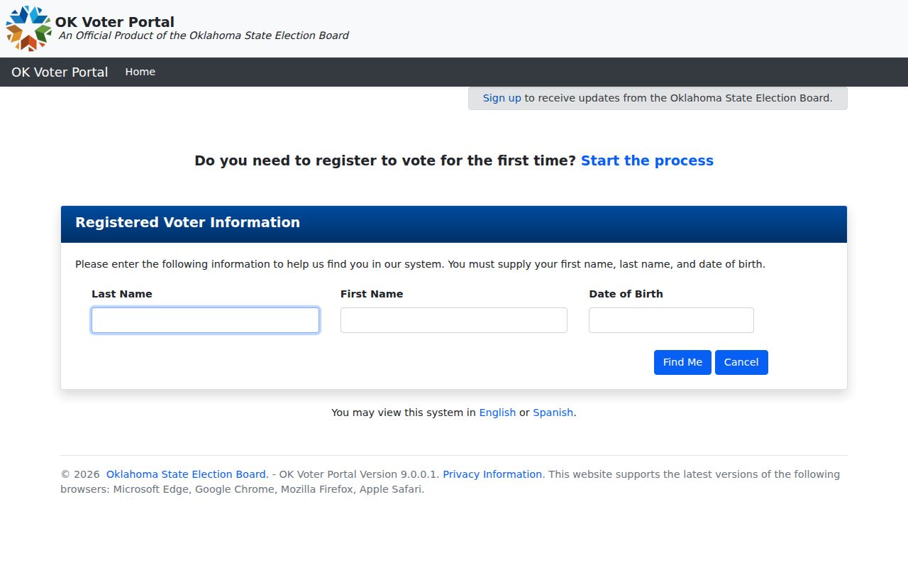
A result should be checked against the exact name and registration details rather than used to infer a household from a partial match.
Moore City Address Records
Moore adds records that county portals do not replace. GovBuilt routes applications and follow-up for building and trade permits, storm shelters, pools, signs, demolitions, driveway or curb cuts, contractor registration, code complaints, planning, fire safety, stormwater, rights-of-way, and engineering. The portal did not expose a public case-search screen, so start with the City Clerk or the appropriate city department for an address, record type, and narrow date range. An Open Records request should name the property, the type of file, dates, preferred delivery format, and whether inspection or ordinary copies will answer the question.
The Moore GovBuilt portal shows the public service categories and application entrance.
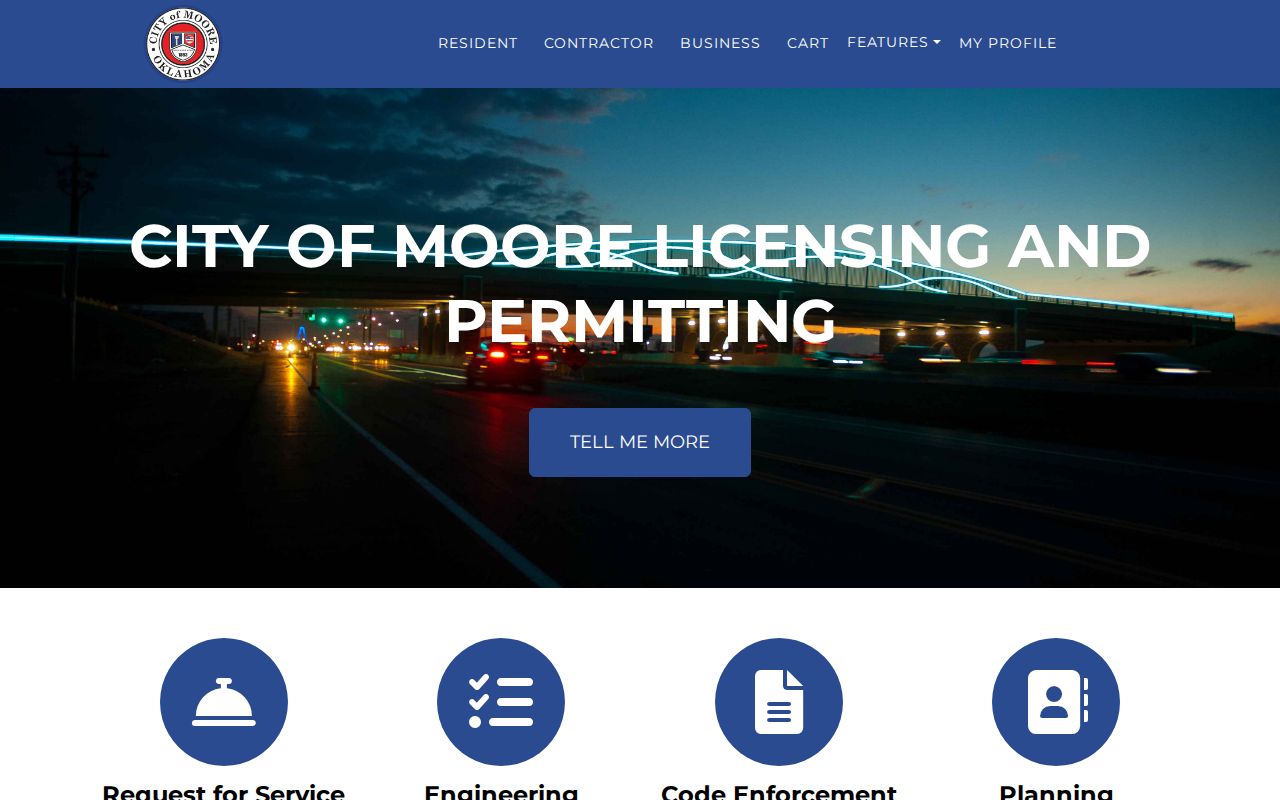
Its categories are a routing clue, not a public list of named applicants or a substitute for the City-held record.
Moore Address Geography
A street address needs its local geography intact. Moore uses NW, NE, SW, and SE directions, and a search for a numbered road without its quadrant can point to the wrong place. The City of Moore GIS and the NG911 address service are useful for confirming road ranges, city and county labels, ZIP and post-community fields, and the MOORE 911 or ESN 34 emergency-service context. City limits, a postal mailing city, a ward, a precinct, and a parcel boundary can overlap without describing the same area.
The linked City GIS image shows the parcel-viewer layer used to compare an address with the surrounding mapped geography.
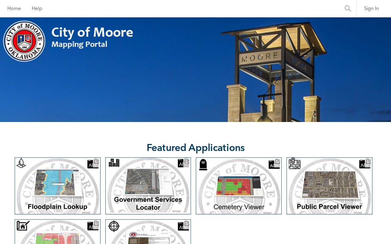
Use a map layer to orient the search, then confirm ownership and recorded facts in the appropriate county or city record.
Note: A ZIP, ward, precinct, or GIS label narrows a location, but it does not by itself prove a person lives there.
Moore Resident Lookup Privacy
A careful Moore residents directory search sometimes ends in a deliberate gap. Oklahoma's Address Confidentiality Program provides qualifying participants a substitute mailing address and mail forwarding. The Restricted Records Program, under 26 O.S. §4-115.2, also limits access to a qualifying voter's real address. Sealed, expunged, confidential, or redacted court and vital-record material can create similar limits. No result, a redacted result, and a record that belongs to another person are different outcomes.
When a record is missing, check the custodian, spelling, date range, and record category. If the custodian identifies a protected address or confidential file, stop seeking the suppressed information. That boundary protects the person and preserves the value of official records for legitimate research.
Historical Moore Resident Directories
For a former Moore household, the historical path starts with the Oklahoma Historical Society. Its city-directory search takes City and Year fields, but the research did not verify a continuous Moore run or a specific publisher. Ask OHS reference staff and the catalog for a particular year rather than assuming a directory exists. The OHS Research Center also points to the 1890 Territorial Census, the Smith First Directory dated August 1, 1890, territorial records, marriage collections, cemetery indexes, land records, and newspaper resources. Moore Public Library, part of Pioneer Library System, is a useful local reference contact for catalog and microfilm confirmation.
The historical collections deserve their own treatment on the Moore city directories page. Pair a dated directory or newspaper entry with a deed, census, or cemetery record, and label whether it directly identifies a household or only supplies a context clue.
Moore Messenger Resident Clues
The OHS title page for the Moore Messenger identifies a 1935–1960 run, with 144 issues and 1,213 pages from 10 years online. The available run shown begins December 18, 1935 and ends May 18, 1944. The Oklahoma Digital Newspaper Program supports full-text, metadata, title, subject, creator, name, guided, advanced, and proximity searches. A July 13, 1895 Cleveland County Courier issue provides an earlier, six-page Moore-area anchor. For late-1880s leads, try both Moore and the earlier Verbeck name in historical searches.
The image below links to the OHS research records guide, which describes the archival routes behind these historical leads.
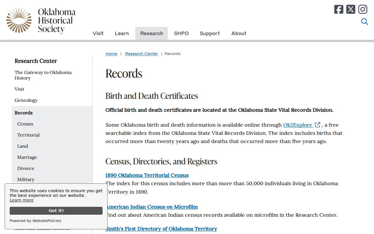
Newspaper search results are finding aids, so read the page image and its date before adding it to a family or address timeline.
Moore Cemetery Record Requests
Moore and Smith Cemeteries offer another historical route when a name is absent from an online index. The City Clerk maintains cemetery records, sells lots, issues deeds, and handles work orders. The city describes both cemeteries as more than a century old, with some graves from the 1800s and reported birth dates in the 1700s. No public online interment-name search was verified. Ask the Clerk for a lot or interment lookup with a full name, approximate dates, and the cemetery name, then record whether the information comes from a maintained register or a later transcription.
That fallback chain matters: start with the Clerk inquiry, ask for the lot deed or interment record if available, and use the library or OHS for supporting obituary and newspaper evidence. The city's reported 2025 standard lot price was $1,200, but current prices should be confirmed with the Clerk.
Moore Records Need Two Checks
Official portals, office copies, and archival material have different strengths. An official index is a strong way to discover a record, while an office copy is the channel for certification. A commercial people-finder category may combine old data, but it does not replace the custodian's image, current portal, or request response. When a fact matters for an heir question, property concern, or scam check, compare at least two independent sources and preserve the search date.
| Research layer | Best use | Limit to remember |
|---|---|---|
| Official portal | Locate a parcel, docket, instrument, or historical finding aid | Fields or images may be incomplete |
| Custodian request | Inspect a non-online file or obtain a copy | Fees, redactions, and processing rules apply |
| Historical collection | Date a household, business, or address context | A notice may be indirect evidence |
Cleveland County's 2025 notice of a fraudulent-conveyance process is a useful reminder: verify a suspicious deed against the Clerk's official instrument and use the Clerk or District Attorney route rather than confronting a named party.