
Trace a Moore Street Directory
A street-by-street search begins with the address, not a person name. Cleveland County's property system is the bridge from a street address to a parcel and legal description. That record may show a current owner, a mailing address, values, sale information, and a map, but it does not by itself establish who occupies a property. Treat each result as one part of the address record. A unit, lot, or condominium identifier can require its own search pass.
- Enter the complete address in the Cleveland County Spatialest property search. If it does not return a result, try the street without the unit, then try the directional variant, owner, subdivision, parcel number, or legal geography.
- Save the parcel or account identifier, situs address, mailing address, and legal description as separate details. Compare the map position before moving to another source.
- Open the City of Moore or county GIS layers to inspect adjacent parcels, road names, neighborhood labels, and available tax or planning overlays. One returned parcel is not automatically the entire block.
- Use the legal description in the Cleveland County Clerk's CoGov index. Search the current owner as grantee, the earlier party as grantor, or use subdivision or section-township-range fields with a narrow filing range.
- For a current, individual registration question, use the Oklahoma Voter Portal as designed. For older household context, pair dated land records with historical directories or newspapers rather than assuming deed parties lived at the address.
The resulting chain is address to parcel, parcel to legal description, legal description to recorded instrument, then dated sources for a household clue. Each link has a different custodian and a different limit.
Read Moore Street Directions
Moore uses NW, NE, SW, and SE prefixes. Santa Fe, Telephone Road, Broadway, and Main are major orientation lines, while I-35, US 77, and OK 37 help place an address on the broader map. Preserve the quadrant, suffix, unit or lot, ZIP, and municipality exactly as supplied. Dropping a directional prefix can point a search to a different location.
The City of Moore NG911 address service records road-centerline fields for city and county on each side of a road, address ranges, ZIP and post-community values, emergency-service numbers, PSAP, and alternate or legacy road names. Values including CLEVELAND COUNTY, MOORE, ESN 34, and MOORE 911 help check response jurisdiction. It is an addressing-data service, not a historical street book.
Search Moore Parcels by Address
Cleveland County Spatialest offers several ways into the same parcel record. Use the most specific starting point available. The portal's ordinary search modes do not state a required field, and its advanced filters can narrow a large set before an address researcher starts opening records. Mailing address and situs address can differ, so capture both rather than treating them as synonyms.
| Search field | Input type | Required | Use in a Moore address search |
|---|---|---|---|
| Property Address | Text | Not stated | Best first pass for an exact street address. |
| Owner Name | All or partial text | Not stated | Useful after a parcel or recorded party supplies a name. |
| Account Number / Parcel Number | Identifier | Not stated | Connects a saved county parcel record to later tax research. |
| Subdivision | Text or selected filter | Not stated | Helps when a plat or legal description names an addition. |
| Township / legal geography | Geographic fields | Not stated | Useful when an address is incomplete or sits near an edge. |
| City / municipality | Advanced filter | Not stated | Separates a Moore-oriented parcel sweep from a countywide result set. |
The detail screen can connect ownership, legal and physical descriptions, assessed values, building details, land use, sales, deeds, tax bills, and maps. The research records a portal data update of July 9, 2026, so a saved search should always carry its own access date.
Use Moore GIS Street Layers
The City of Moore GIS viewer and Cleveland County GIS services are useful for checking the geography around an address. County folders include Tax, NeighborhoodCodes, Vacant_ImprovedLot_Sales, Basemap, Imagery, Planning, and Utilities. They can show parcel boundaries, roads, neighborhood labels, floodplain overlays, and nearby parcels. A GIS line is geographic evidence, not a recorded conveyance.
Open the City of Moore GIS parcel viewer before treating a street result as a fixed boundary.
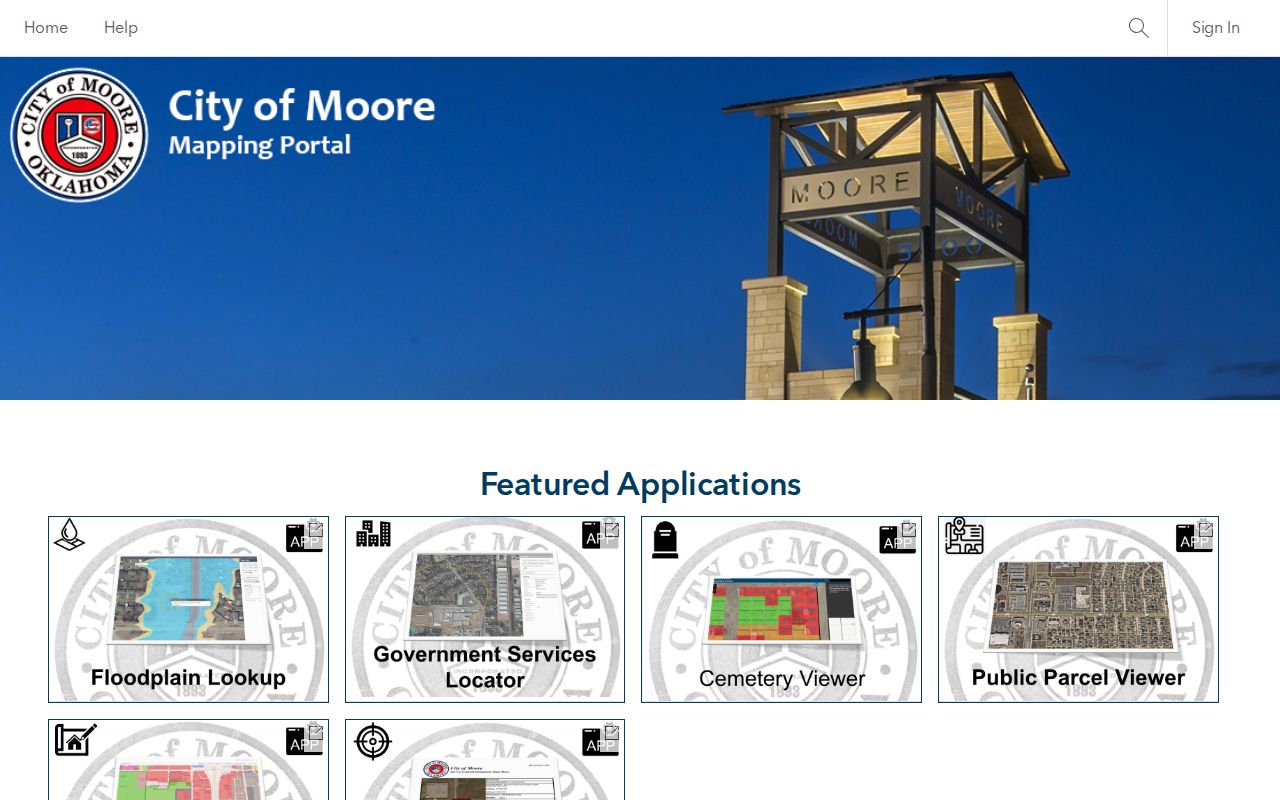
When a parcel line, a road centerline, and a neighborhood label differ, retain the source and date for each. A parcel layer may reflect tax mapping, while the NG911 layer is designed for emergency-address ranges.
Follow Moore Deeds by Description
The Cleveland County Clerk records deeds, mortgages, mineral interests, plats, liens, judgments, and other instruments. Its CoGov land index supports name, document, subdivision, and section-township-range searches. An address itself is not always indexed as a street string, so move from the parcel's lot, block, subdivision, or legal description. Pair the instrument number, book and page, filing date, and document type before drawing any conclusion.
Online land research by name, legal description, and document number generally reaches back to 1994. The Clerk's in-house database reaches 1995, while earlier grantor-grantee indices remain an office task. The county advises confirming pre-1991 official copies by phone. Narrow date ranges matter: a broad search may return thousands of records or freeze the browser. Index images are a convenience, not a title opinion.
Use the Cleveland County deed-index screen to choose the appropriate search route.
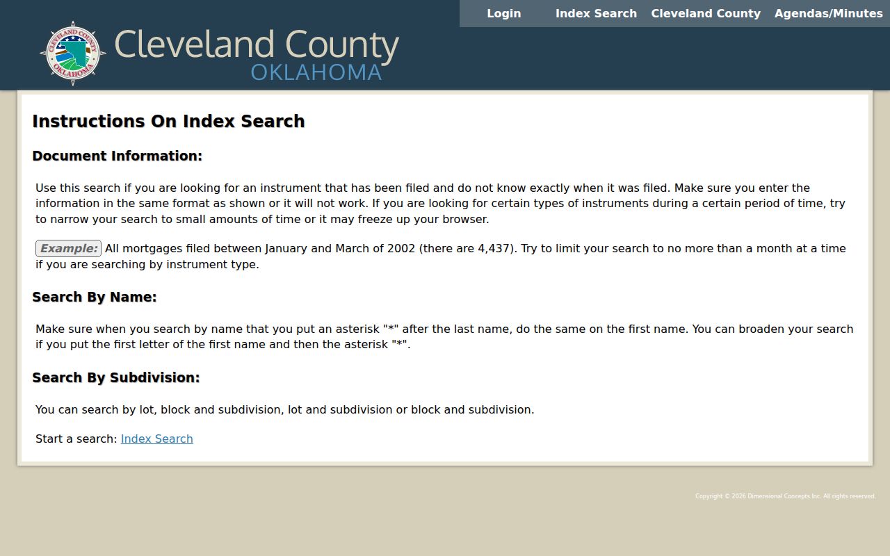
For a recorded or certified copy, contact the County Clerk at 201 S Jones Ave, Suite 210, Norman, or call 405-366-0240. The office lists weekday hours of 8 to 5. Its schedule lists copies at $1 per page and certification at $1, separate from recording charges.
Check Moore Address Records
Some address-keyed records belong to the City of Moore, not to the county. The city's GovBuilt workflow covers building inspections, code enforcement, planning, fire safety, stormwater, engineering, right-of-way, and City Clerk service categories. Public case-search fields were not verified in the portal, so treat it as an application and follow-up route rather than an open resident index.
For permits, inspections, plats, easements, or a code case, direct municipal material to Moore. Send valuation material to the Assessor, tax history to the Treasurer, land and plat records to the County Clerk, and court records to the Court Clerk. A focused request should identify the exact address or parcel, a date range, the kinds of records sought, and a request for a fee estimate before extensive reproduction.
Compare Moore Street Records
A Moore street directory works best when the record type matches the question. Parcel and tax systems can provide a current administrative view. Recorded land instruments establish a conveyance. City files can document a permit, inspection, or compliance event. Election and directory material must be handled through their own rules and do not turn a block into a public household list.
| Address record | Custodian | What it can show | Access route |
|---|---|---|---|
| Parcel card | Cleveland County Assessor | Owner, mailing and situs data, value, improvements, sales | Spatialest |
| Recorded land instrument | Cleveland County Clerk | Parties, recording date, legal description, book or page, image | CoGov or Clerk office |
| Tax history | Cleveland County Treasurer | Owner of record, payment history, balance, resale status | Treasurer site |
| Plat or easement | County Clerk / Moore planning | Lots, blocks, roads, easements, subdivision geometry | Clerk or planning request |
| GIS service | City and county GIS | Parcels, roads, layers, adjacent properties | Viewer and ArcGIS services |
| Permit or code file | City of Moore | Address, applicant or contractor, work or compliance event | GovBuilt or records request |
Start with the parcel identifier, then compare it to the legal description in the land index. Do not turn a mailing recipient, trustee, mortgagee, applicant, owner, or occupant into the same role without a dated source that actually supports it.
Keep Moore Street Names Intact
No official citywide Moore street-renumbering or renaming crosswalk was located. That absence is a reason to mark an address-continuity question, not a reason to silently replace an older address with a current one. Compare the recorded plat, ODOT map, municipal agenda material, Sanborn maps, and the NG911 alternate or legacy road fields.
The February 17, 2026 Willow Addition agenda illustrates the useful vocabulary: lot and block references, Book 4373 Page 403, and roads near SE 19th, Santa Fe, Telephone, and SW 34th. Those references can lead from a named addition to a Clerk search, but they do not establish an owner or a resident.
Request Moore Street Records
When a portal does not expose the needed record, make the street request narrow enough for the right office to recognize it. Give the exact street address, parcel number or legal description, a beginning and ending date, and the record categories sought. Moore municipal requests can identify permits, inspections, code-enforcement case numbers, public engineering material, plats, easements, and associated indexes. Ask the custodian to identify exempt or redacted categories and provide a fee estimate before a large reproduction order.
For a recently annexed edge or a rural-style location, add the section, township, range, and former mailing community. For a corridor with several parcels, use adjacent parcel identifiers from GIS and repeat the same date window in CoGov. Send land and plat questions to the County Clerk, valuation and tax matters to the Assessor or Treasurer, municipal files to Moore, and court material to the Court Clerk. Cleveland County's general open-records form also asks for contact information, a detailed description, and a preferred delivery method; it gives no fixed processing time, so request an estimate.
Match Moore Streets to Districts
Postal, parcel, emergency-response, ward, and precinct boundaries overlap but do not control one another. The Cleveland County Election Board offers precinct, commissioner, State Senate, State House, and Moore Ward maps. The City Council says ward assignment is address-based and may be checked through its map or the City Manager.
A current voter-registration verification belongs in the individual OK Voter Portal, which requires first name, last name, and date of birth as registered. Oklahoma's notice says a voter record can include registration and mailing address among other public fields, but it does not maintain a required voter telephone number. The portal is not a tool for enumerating a street.
Moore Street Record Terms
Using the same terms as the record keeper makes a request and a search more precise.
- Parcel
- A tax-mapping unit assigned by the county, often carrying an account or parcel identifier.
- Situs address
- The physical location of a property, which can differ from the mailing address shown for its owner.
- Plat
- A recorded map that lays out lots, blocks, roads, easements, and a subdivision's legal geometry.
- Criss-cross directory
- A historical directory arranged by address, used as a dated household clue rather than proof of ownership.
Respect Moore Street Directory Limits
A street search cannot prove a complete household roster. County property displays identify administrative property roles, and a recorded deed identifies parties to a transaction. Neither one confirms current occupancy. Private utility-customer information should not be requested unless the custodian confirms it is public, and a missing result can reflect a protected, redacted, unindexed, or differently addressed record.