
Moore Previous Residents by Record Era
The best source depends on the period and the question. Cleveland County's current parcel data creates the bridge from a street address to a legal description. The County Clerk's land index then identifies recorded instruments, while OHS collections can supply historical context that a deed cannot. A recorded party is not automatically a person who lived at the address, and a name in a historical source may have a different role. Preserve the source, date, role, and confidence level for every candidate in a former-resident trail.
| Source | Years It Covers | Where Held | What It Shows |
|---|---|---|---|
| Spatialest parcel detail | Current portal data | Cleveland County Assessor | Parcel, legal description, sale, and current ownership fields |
| CoGov land index | Generally 1994 forward online | Cleveland County Clerk | Recorded parties, dates, instrument and legal-description paths |
| Older grantor-grantee indices | Pre-1994 research gap | County Clerk office | Earlier name and conveyance leads |
| Moore Messenger | 1935-1960 title; 1935-1944 online subset | OHS Gateway | Dated local notices and contextual leads |
| Territorial census and first directory | 1890 | OHS research collections | Early Cleveland County name leads |
| Sanborn and Clarkson maps | City and year must be confirmed | OHS map collections | Structure, block, and nearby-business context |
Begin with the parcel and the latest recorded instrument when the address is recent. For a 1930s through 1960s question, add the Messenger and any confirmed directory year. For the territorial period, begin with the 1890 sources and county land records. A map is a context layer, not a name list.
Start Moore Previous Residents at the Parcel
The Cleveland County Assessor's Spatialest search accepts property address, owner name, account, parcel, subdivision, township, and legal-geography searches. In a result, capture the account or parcel ID, situs address, mailing address, legal description, and last-sale material separately. Those fields are not interchangeable. The legal description is especially important when the street name has changed form, a unit is involved, or the address cannot be found in a historical index.
From there, use the parcel's lot, block, subdivision, or section-township-range language for the Clerk's index. The Assessor gives a practical starting point, but the recorded instrument is the place to verify a conveyance. The Treasurer's payment history can add an administrative date layer; it does not replace the deed.
Moore Previous Residents and the 1994 Break
One common mistake is assuming that an online result is a complete address history. CoGov reports online name, legal-description, and document-number coverage back to 1994, while the Clerk's in-house database reaches 1995 and older grantor-grantee indices remain an office task. The county also advises confirming pre-1991 official copies by phone. When the date you need sits before the online window, save the parcel and legal description, then ask the Clerk for help with the older index rather than declaring the trail finished.
The Cleveland County Clerk records deeds, mortgages, plats, liens, judgments, and other instruments. Its office is at 201 S Jones Ave, Suite 210, Norman, with weekday hours of 8 to 5. Ask for a fee estimate if several copies or a chain-of-title request may be needed.
Give the office the exact parcel or legal description, the names already found, and a tight date range. The Clerk's online instructions specifically favor narrow date searching. If an image or index entry is unclear, the office copy controls, and a certified or office copy is a separate request from viewing an online result. Keep the request focused on the recorded land trail rather than asking for an undefined search of an address.
Trace Moore Previous Residents Through Cleveland Deeds
Use deeds to trace recorded ownership backward, while keeping that result separate from the household question. The CoGov land index offers Name, Document, Subdivision, and section-township-range routes. A Name search supports names, date ranges, document and instrument type, and spouse or suffix fields. The county warns that broad searches can return thousands of results or freeze the browser, so keep the date window and document type narrow. Instrument images are useful evidence, but the portal is an index and image convenience, not a title opinion.
- Open the current parcel and record its legal description, parcel ID, and latest sale details.
- Find the current recorded party as a grantee, or use the known instrument number, book, page, or narrow date range.
- Read the instrument for the prior party, date, legal description, and document type.
- Search that prior party as a grantee to locate the earlier purchase, then repeat the same backward step.
- When the needed period predates the portal, request office-assisted grantor-grantee research and confirm official copies with the Clerk.
- Grantor / grantee
- The party conveying an interest is the grantor; the party receiving it is the grantee. Read the actual instrument to identify the transaction.
- Chain of title
- A dated sequence of recorded conveyances for the same legal parcel, built one instrument at a time.
- Criss-cross directory
- A street-and-address arrangement that can identify a listed household only when a confirmed volume exists for the right period.
- Enumeration district
- A census geography used to organize schedules. It can help locate the correct pages after an address or nearby landmark is established.
The Cleveland County grantor-grantee name search is the portal route for a focused party search.
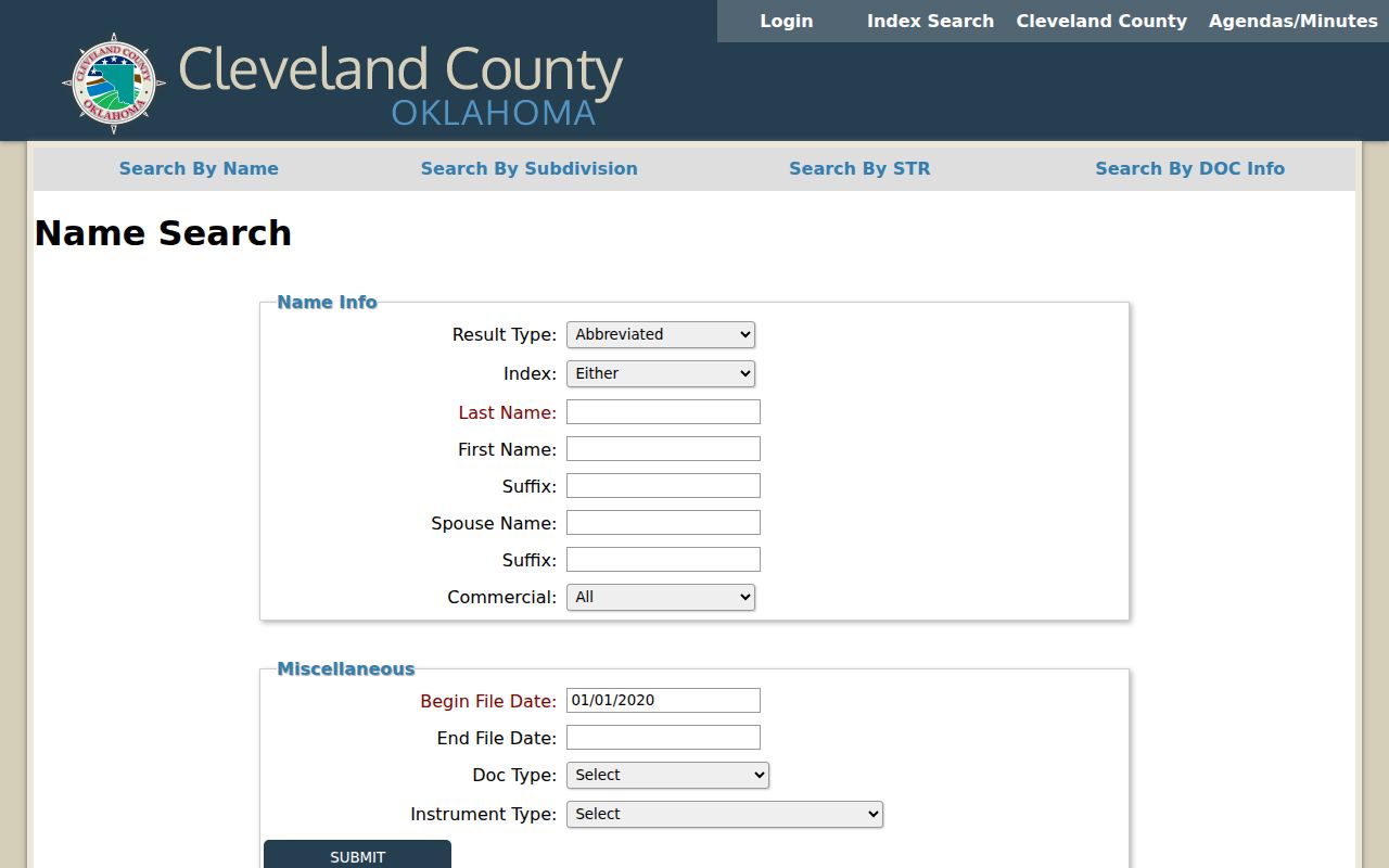
Use the screen to refine a name and date range, then preserve the instrument number and legal description with every result instead of relying on a surname alone.
Moore Past Residents in Directories and Census
Deeds answer who conveyed an interest. Directories and census schedules may answer who was associated with an address or household around a given date. Begin with a deed date, then find the closest confirmed annual directory or newspaper lead. For the 1930s and 1940s, the Moore Messenger can be searched alongside available directory material. For an earlier person, OHS identifies the 1890 Territorial Census index and Smith First Directory as foundational Cleveland County sources. The collection details are kept on the Moore city directories page, so this address trail can stay focused on testing a name against a date and parcel.
The OHS records guide is the source for the census, directory, cemetery, newspaper, and county-land research paths used in this historical layer.
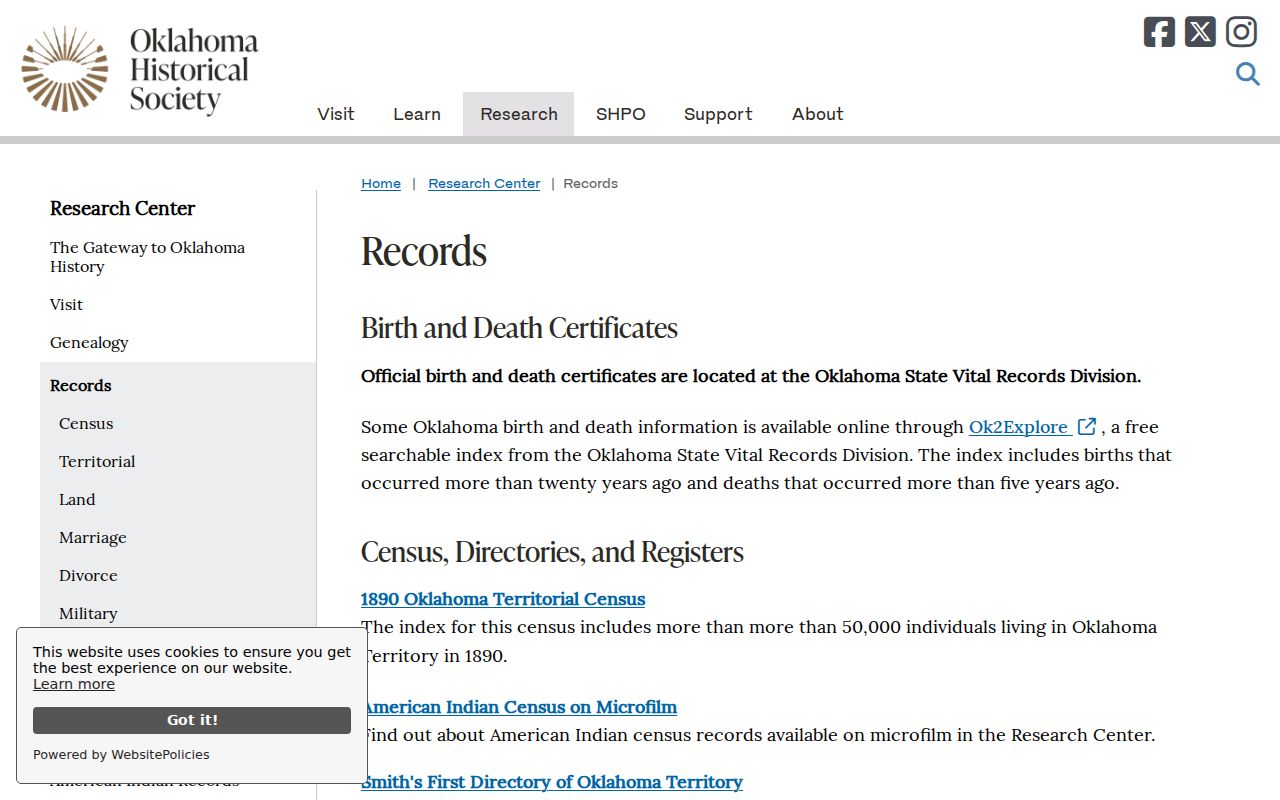
Using the guide beside a deed timeline makes it easier to choose a source appropriate to the period instead of treating a modern land index as the whole record.
- Place each recorded conveyance on a timeline with its instrument date and legal description.
- Locate the nearest verified directory year, newspaper notice, or territorial source.
- Check an available census schedule for the matching locality and period, noting its enumeration district.
- Compare name spelling, street form, household role, and source date without forcing a match.
- Mark whether the connection is direct, corroborated by two sources, or still inferential.
A person can appear in an instrument without appearing in a directory, or appear in a directory without being a recorded party. That difference is the reason to retain both layers rather than choosing one as the whole history.
Moore Previous Residents on Sanborn Maps
The OHS insurance-maps page provides the access route for Sanborn and Clarkson materials. These maps can show a structure, adjacent businesses, street layout, and block context when no person is named. Check the specific map year and city coverage before using it, and record it as geographic evidence rather than proof that a named person lived there. For Moore addresses, keep NW, NE, SW, or SE prefixes intact when comparing maps, plats, and later records.
This OHS Sanborn collection page is the source for the historic-map access path.
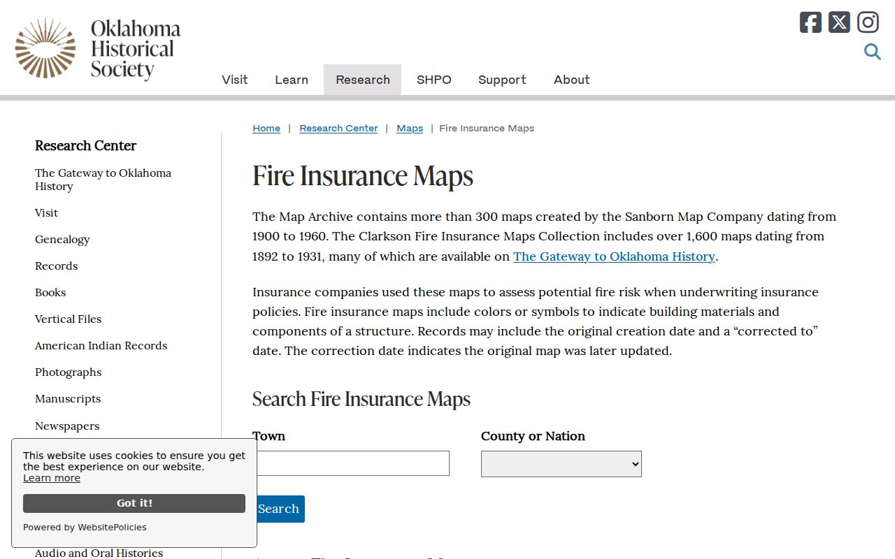
The map layer can explain an address setting or nearby landmark, but it should remain separate from a direct name-and-address entry.
Moore Address Changes Need Caution
No official Moore street-renumbering or renaming project with a complete historic crosswalk was found. Do not silently modernize an old address. Compare the recorded plat, city or county GIS, ODOT map, municipal agenda material, and the NG911 service's alternate or legacy road fields. The Willow Addition council material, for example, carries legal descriptions and road references around SE 19th, Santa Fe, Telephone, and SW 34th, but it does not establish an all-city renumbering history. Keep the source and date whenever the address continuity remains uncertain.
Moore Previous Residents: Confidence Labels
Make the result legible by classifying every link. A direct result names the person with the address or date. A corroborated result has two independent official or historical sources that align. An inferential result relies on geography, household, business, or newspaper context without stating the connection. Store the exact query, custodian, source title, URL, access date, record date, role, instrument or page reference, and any coverage gap. This also makes it possible to correct a match if an index changes or a page image contradicts an OCR result.
Do not copy more personal detail than is needed to explain the match, and do not publish protected addresses or other restricted information. A cautious record log is more useful than a long list of untested names.
When an address lies outside Moore but has a Moore mailing name, check city-limit context and the NG911 city fields before assigning it to the city. For a common name, add the subdivision or ward where the source provides it. When a portal does not reach the needed period, preserve the gap and request the office-held index. These steps keep a plausible connection from being presented as a confirmed one.
Moore Cemetery Records for Past Residents
For an older family connection, Moore and Smith Cemetery records can help close or test a timeline. The City Clerk maintains interment information and lot deeds, but a public online name index was not verified. Request a lookup with the full name, approximate dates, and cemetery, then note the cemetery, section or lot when supplied, interment date, and whether the result came from a maintained register or a later transcription. Cemetery material can support a dated local connection; it does not by itself establish the prior address.
Lawful use. Use former-resident research for family history, estate questions, personal address history, or civic curiosity. Do not use it to track, harass, or harm a living person; Oklahoma law includes stalking and electronic-harassment provisions.