
Moore Neighbors: Block Source Routes
A block search has several narrow sources, not one master list of nearby households. Start with the City of Moore GIS for geographic context, then use the Assessor's property record for a current parcel connection. The Cleveland County Clerk can confirm a recorded land instrument, while the city neighborhood map supplies community names that may not match a legal subdivision. Each source answers a distinct question, and an ownership entry should not be converted into a list of everyone at an address.
| Source | What It Shows About a Block | Access |
|---|---|---|
| City of Moore GIS | Parcel geography, roads, visible layers, and nearby parcel context | Interactive viewer |
| Cleveland County Spatialest | Parcel owner display, mailing or situs address, legal description, values, sales, and map detail | Online property search |
| Cleveland County CoGov | Recorded parties, instrument dates, legal description, lot, block, and subdivision | Online index and Clerk access |
| Moore NG911 service | Road ranges, left and right city or county, ZIP, post community, ESN, and PSAP fields | Public feature service |
| Moore neighborhood map | Community labels useful for map and local-history context | City PDF |
The strongest answer identifies the record type and date. A parcel can prove a boundary or a recorded owner display. It does not prove who receives mail there, who is part of a household, or who should be contacted. That distinction lets a block search use public geography without treating public records as a personal directory.
Moore Neighbor GIS Review
The City of Moore GIS is the visual starting point for an immediate-block question. Enter a complete street address, retain the directional prefix and street suffix, and inspect the parcel boundary and roads around it. Moore's grid uses NW, NE, SW, and SE prefixes. A search for a road number without its quadrant can point to the wrong area. When the map returns multiple tax accounts, a condo, or a lot record, compare the legal description before assuming the result represents a single household.
The City of Moore GIS viewer provides the parcel and layer view used to place an immediate-block question on the correct block.
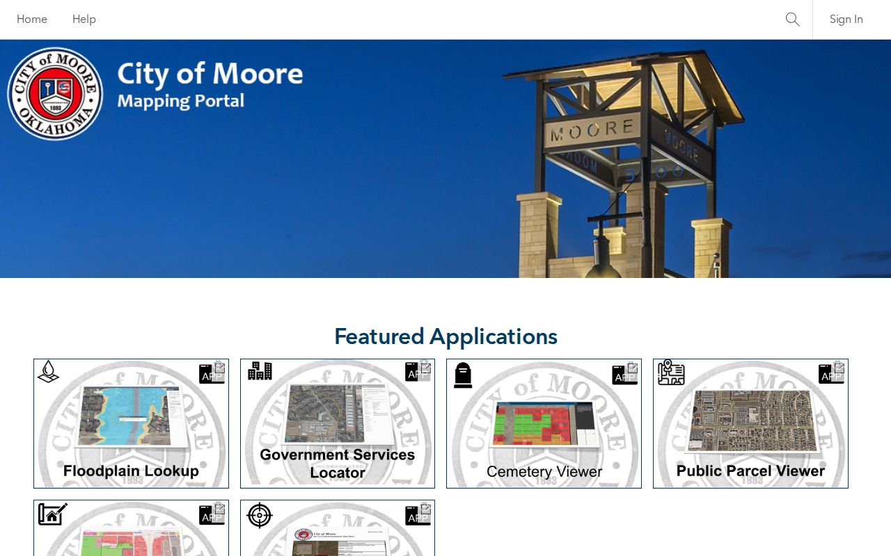
The viewer is a geographic evidence layer, not a deed. Compare its boundaries and road labels with the Assessor parcel and the County Clerk's recorded instrument. Cleveland County GIS also publishes Tax, NeighborhoodCodes, Vacant_ImprovedLot_Sales, imagery, planning, and utility service folders. Differences between a map layer and a recorded plat should be noted rather than forced into a single conclusion.
Moore Neighbor NG911 Edges
Moore's NG911 road-centerline service helps test the road edge behind a map result. Its inspected fields include County_L/R, City_L/R, ESN_L/R, PSAP_L/R, Zipcode_L/R, PostComm_L/R, road class, address ranges, and alternate or legacy road fields. Public service values include CLEVELAND COUNTY, MOORE, ESN 34, and MOORE 911. These fields can establish whether a range is assigned to a Moore road edge and which local service geography is associated with each side.
That is an important correction to a common map assumption: an emergency-address service is not a people list. It validates jurisdiction, directional spelling, range, ZIP or post-community information. It does not identify residents, settle a parcel boundary, or replace a recorded legal description. Use it beside the city viewer when a Moore mailing name, city limit, or road label is uncertain.
Note: Record the source and access date when map layers disagree, because map, dispatch, tax, and recorded-land layers can update on different schedules.
Map Moore Neighbor Parcels
Move from one address to the surrounding parcels in a fixed order. This keeps the result tied to lots and record roles rather than turning a search into speculation about a street. The full address sequence for a named road is handled in the Moore by-street directory; the process here stays with the immediate block or radius.
- Locate the exact address in City GIS and copy the directional street name, parcel position, and nearby parcel identifiers.
- Open each adjoining parcel in Spatialest. Keep the situs and mailing address, account or parcel ID, legal description, current owner display, and last sale data as separate fields.
- Compare lot, block, and subdivision in CoGov. A subdivision search or a narrow filing range can identify the recorded instrument connected to the parcel.
- Check the recorded role and date. A grantor, grantee, trustee, lienholder, owner, and mailing recipient are not interchangeable labels.
- Use the neighborhood map, ward map, or NG911 road fields only to add geography. Preserve any city-limit or address-continuity uncertainty.
A parcel is a tax and land unit. A legal description is the lot, block, subdivision, or section-based wording that identifies land in a recorded instrument. These are stronger comparisons for adjacent lots than a street name alone, especially where a unit, condominium, or platted lot creates several records at one street address.
Moore Neighbor Names and Subdivisions
Neighborhood vocabulary makes a Moore block easier to recognize, but it should not replace the legal description. The official map and city project pages name Moore Manor, Southgate-Rippetoe, Highland West, Willow Addition, The Willows, Oak Ridge, and Siena Ridge. Those names can help locate a parcel or find a council agenda, but they are not automatically the recorded subdivision shown on a plat. Compare the neighborhood label, parcel map, plat or subdivision field, and city-limit status.
The Willow Addition item on the February 17, 2026 city agenda illustrates the difference. It includes legal descriptions, lot and block references, Book 4373 Page 403, and road references around SE 19th, Santa Fe, Telephone, and SW 34th. That kind of material can connect an addition to land history. It does not create a resident list. For an older address, do not silently modernize a road name or directional prefix when a crosswalk has not been verified.
Moore Neighborhood Association Leads
Public association material can provide a community contact or a document lead for a Moore block, not a household roster. The Willows describes its area between Telephone Road and 19th through 34th and offers a newsletter and architectural-request channel. Oak Ridge publishes covenants and bylaws with an HOA mailbox. Siena Ridge provides an HOA contact lead. Use public rules, a public contact route, or an official neighborhood name, and leave member information alone.
| Community lead | Publicly indicated material | Appropriate block use |
|---|---|---|
| The Willows | Newsletter and architectural-request channel; area description | Confirm community vocabulary or ask about public governing documents |
| Oak Ridge | Public covenants, bylaws, and HOA mailbox | Review public rules or use the stated contact route |
| Siena Ridge | HOA contact lead | Use only a published community contact |
The Oak Ridge public association page is represented in the captured source below. It is a lead for covenants and a community contact channel, not an authorization to collect or publish private member details.
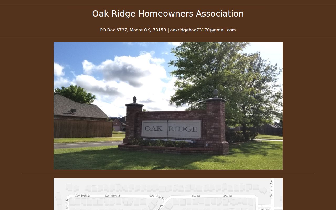
Use the image to recognize the public-facing association source. Pair it with the official neighborhood map and a parcel's legal description, because a community website, a common neighborhood name, and a recorded subdivision can describe related but different boundaries.
Moore Neighbor Civic Boundaries
A nearby parcel may share a block while falling in a different ward, precinct, ZIP, post community, or city-limit pattern. Moore has three council wards, and the Cleveland County Election Board provides precinct, commissioner, State Senate, State House, and Moore Ward maps. Use those maps to understand civic geography. They do not prove a person's registration or create a reason to obtain a broad voter list.
The OK Voter Portal is intended for an individual's verification with name and date of birth. The separate Election Data Warehouse list process is limited to eligible requesters, uses a notarized form, and includes restrictions on use. Public voter fields and confidential fields are explained by the Oklahoma Election Board data notice. Keep a block inquiry focused on mapping and community context, not on assembling names by address.
Privacy Boundaries for Moore Neighbors
Oklahoma's Open Records Act provides access to existing public records, subject to exceptions. A map or land record may be public while some fields are redacted, a copy has a fee, or a different custodian controls the record. The voter notice excludes driver-license, state-ID, and Social Security data, and a telephone number is not maintained as a required voter field. Court materials can also include sealed, expunged, juvenile, confidential, or protected information.
Qualifying voters may be protected by the Address Confidentiality Program or the Restricted Records Program. ACP participants can use a substitute mailing address and receive mail forwarding, while qualifying voter information may be omitted from public results. An official no-result can therefore be intentional. For a correction or protection question, use the responsible custodian's procedure rather than attempting to change a map or copied index.
Lawful use. Moore block records can support personal, lawful research, reconnecting, or civic curiosity. Do not use public information to stalk, harass, intimidate, or harm any person, and do not build a private roster from it.
Moore Projects Near a Block
Public improvement records can add a dated, address-related layer around a block without centering private people. Moore GovBuilt categories include building and trade permits, storm shelters, pools, signs, demolitions, driveway or curb cuts, fire safety, stormwater, right-of-way, and engineering. The visible portal is an application and follow-up route, not a verified public case search. For a specific parcel, a focused City Open Records request is the appropriate fallback.
| Official source | Commercial contact-data category |
|---|---|
| Names a custodian, record type, date, and available access channel. | May combine data from unclear dates or sources and should be treated as an unverified lead. |
| Parcel, plat, deed, or permit role can be checked against the original record. | A displayed address or relationship may not match the current parcel or a recorded role. |
| Supports a narrow records request when an online layer is incomplete. | Does not replace a custodian's record, privacy rule, or correction process. |
The Moore GovBuilt portal and city project material can supply a project, street, or date for an official request. High-wind verification, flood alterations, stormwater, and engineering records can connect a parcel to a public event without identifying or describing a private household. Ask for the relevant record category, date range, and fee estimate.
Note: A permit applicant, owner, contractor, and nearby resident are separate record roles that should not be merged without direct evidence.